Click this icon to calculate the reservoir’s water spread area using satellite data and selected parameters. The tool processes geospatial inputs to estimate the surface area covered by water. This helps monitor seasonal changes and manage water resources effectively.
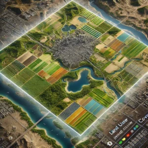
Click this icon to generate Land Use Land Cover (LULC) statistics for the selected region and time period. This helps in tracking land use changes and planning sustainable land management.
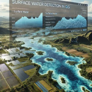
Click this icon to detect and map surface water bodies in the selected region using satellite imagery. This aids in monitoring water availability and seasonal surface water changes.