EcoWater
Welcome to the Remote Sensing & GIS Portal of the Water Resources Department, Government of Jharkhand. This platform serves as a transformative step toward modernizing water governance through the application of advanced geospatial technologies. By integrating Remote Sensing, GIS, and cloud-based analytics, the portal enables real-time monitoring, spatial planning, and data-driven decision-making across the state. It supports a wide range of applications including irrigation planning, flood and drought assessment, groundwater mapping, and infrastructure monitoring. The portal offers interactive maps, analytical dashboards, and downloadable datasets, catering to the needs of engineers, planners, researchers, and citizens. Our goal is to enhance transparency, ensure efficient utilization of water resources, and build a climate-resilient, water-secure Jharkhand. With this initiative, the department aims to foster scientific thinking, empower decentralized planning, and promote sustainable water management practices for present and future generations. This platform is a step toward a smarter, more connected governance ecosystem.
Mapping the Future with Precision !


Annual Rainfall Calculator
Click this icon to automatically calculate the total annual rainfall for the selected district. The result will display the total rainfall for the year in mm.

IMD Rainfall calculator
Click this icon to generate a graphical representation of annual rainfall using IMD data for the selected district. This helps in visualizing seasonal patterns and rainfall distribution easily.

Annual Rainfall prediction
Click this icon to view the graphical prediction of future rainfall for the selected district based on IMD data trends. Use this tool for planning and decision-making related to water resources and agriculture.

Vision for Jharkhand
Building a Smarter, Water-Secure State—One Layer at a Time
Harnessing the power of geospatial technology, the Water Resources Department, Jharkhand proudly presents this dedicated platform for Remote Sensing (RS) and Geographic Information System (GIS) applications. This portal is designed to support data-driven planning, real-time monitoring, and sustainable management of water resources across the state.
Through integrated satellite imagery, spatial analysis, and dynamic mapping tools, we aim to enhance transparency, improve decision-making, and promote efficient utilization of water assets. Whether it’s for watershed management, irrigation planning, flood risk assessment, or infrastructure development, this portal serves as a comprehensive digital interface for professionals, planners, and citizens alike.
Together, we are building a smarter, more resilient Jharkhand—one layer at a time.
About the Portal
A Strategic Platform for Data-Driven Water Resource Management

Watershed Management

Irrigation
Planning

Infrastructure Monitoring

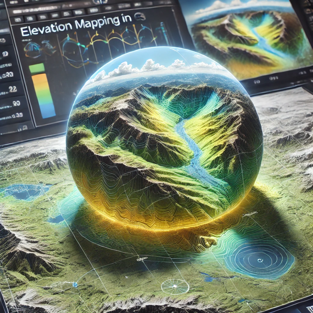
Climate Impact Analysis
MONITOR, PLAN & MANAGE WATER BETTER
Empower Your Decisions with Geospatial Intelligence
We provide integrated Remote Sensing (RS) and GIS solutions that enhance real-time monitoring, streamline planning, and improve the efficiency of water resource management across Jharkhand. Our platform helps departments visualize, analyze, and respond to water-related challenges using high-resolution spatial data.

LOCALIZED WATER MONITORING
Track groundwater levels, canal systems, and watershed health locally to support targeted interventions and decentralized decision-making.

MAP-BASED INFRASTRUCTURE ANALYSIS
Use map-based insights for planning and maintaining water structures, improving service delivery across regions.

DATA LINKING & WATER REPORTING
Link canal discharge, rainfall data, land use, and more for comprehensive water resource assessments.

SMART WATER PLANNING
Use satellite-derived insights to plan irrigation schemes, identify drought-prone areas, and mitigate flood risks.

DIGITAL PORTAL & DASHBOARDS
Access interactive tools that empower engineers, planners, and administrators with real-time and historical data.

COMMUNITY ENGAGEMENT TOOLS
Deploy mobile-friendly maps, reports, and email alerts to ensure transparency and encourage public participation in water conservation.


"GIS is very useful for managing water in states like Jharkhand. It helps map water sources, monitor usage, and plan better water supply systems, especially in rural and tribal areas where access is limited. A smart tool for sustainable water management!"

"In Jharkhand, where water scarcity affects many villages, GIS helps us understand where water is and how to use it wisely. It supports planning for rainwater harvesting, groundwater recharge, and even preventing floods. A real game-changer!"

"The GIS portal has completely changed how we monitor canal systems and field structures. Real-time access to rainfall and reservoir data has made our reporting faster and more accurate. It’s a game-changer for on-ground engineers like me."

"An excellent source of spatial and temporal water data. The layered maps and downloadable datasets have helped me in modelling flood-prone zones in Jharkhand. It’s great to see government platforms being so research-friendly and open-access."

Frequently Asked Questions
1. What is GIS and how is it useful?
GIS (Geographic Information System) is a technology used to collect, analyze, and visualize spatial data. It helps in mapping things like water sources, land use, population, and environmental changes. It’s widely used in fields like agriculture, urban planning, water management, and disaster response.
2. What is Remote Sensing and how does it work?
Remote sensing involves collecting information about the Earth’s surface from satellites or drones without direct contact. It uses sensors to detect reflected light or heat, helping us monitor vegetation, water bodies, climate change, deforestation, and more — over large areas and over time.
3. What is ArcGIS and why is it popular?
ArcGIS is one of the most widely used GIS software platforms. It allows users to create maps, analyze spatial data, and manage geographic information easily. It’s trusted by governments, researchers, and planners for everything from water resource management to infrastructure planning.
4. What is Google Earth Engine (GEE) used for?
Google Earth Engine is a cloud-based platform for analyzing large amounts of satellite imagery and geospatial data. It’s powerful for tracking changes in land cover, forest health, water bodies, and climate over time. GEE is free for research, education, and environmental projects.
5. How are GIS and Remote Sensing used in water resource management?
Together, GIS and Remote Sensing help map rivers, lakes, and groundwater zones, monitor water availability, track rainfall, and manage droughts and floods. Tools like ArcGIS and GEE make this analysis faster, more accurate, and helpful for planning safe and sustainable water systems.